Comprehensive Guide to the Ski Map of New Zealand
Introduction to Ski Map of New Zealand
As one of the most picturesque countries in the world, New Zealand offers breathtaking landscapes that come alive in the winter months, particularly in its mountainous regions renowned for skiing. Whether you’re a seasoned skier or a beginner, understanding the ski map of new zealand is essential for navigating the various resorts. Ski maps provide not only the layout of ski areas but also crucial information about trail difficulties, lift placements, and facilities, significantly enhancing your skiing experience.
Importance of Ski Maps
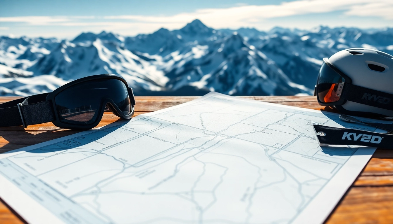
Ski maps serve multiple purposes for skiers. First and foremost, they are essential for route planning. With the diversity of terrains and trails available, knowing what to expect can make for a safer and more enjoyable outing. A map can help skiers identify their skill level against the available slopes, and allows newcomers to familiarize themselves with the area before hitting the snow.
In addition to mapping trails, ski maps often display other valuable information such as:
- Emergency points: Locations of first aid stations and shelters
- Lift services: Identifying which lifts service specific areas of the mountain
- Facilities: Locations of restrooms, cafes, and rental shops
Overview of New Zealand Ski Areas
New Zealand is home to numerous ski areas spread over two main islands: the North Island and South Island. Each region boasts distinct ski resorts that cater to a variety of skiing styles, from leisurely slopes to challenging terrains.
The North Island features popular spots such as Whakapapa and Turoa, known for their volcanic landscapes and consistent snow. The South Island, on the other hand, attracts many for its majestic mountain ranges, including resorts like Queenstown’s Coronet Peak and The Remarkables, which offer some of the best skiing conditions in the Southern Hemisphere.
How to Read a Ski Map
Reading a ski map involves understanding various symbols and markings that are essential for effective navigation. Most ski maps start with a legend that details what each symbol represents. This may include:
- Trail ratings: Typically depicted with colors—green for beginner, blue for intermediate, and black for expert trails
- Lifts: Different types of lifts like gondolas, chairs, and magic carpets are usually represented by unique icons
- Trail names: Indications of which trails lead to which areas are generally marked clearly
Understanding these elements can help skiers effectively plan their routes, optimize their skiing experience, and stay safe while navigating the slopes.
Key Ski Destinations in New Zealand
North Island Ski Resorts
The North Island offers several popular ski resorts, each with unique features. Whakapapa Ski Area, located on the slopes of Mount Ruapehu, is the largest ski area in New Zealand. With a wide range of beginner to advanced runs, it accommodates every skill level and provides breathtaking views.
Turoa, also located on Mount Ruapehu, is notable for its dynamic terrain and excellent powder conditions. Situated on the southwestern slopes, Turoa features enjoyable trails through beautiful beech forests, offering a different skiing experience compared to the open runs of Whakapapa.
South Island Ski Resorts
The South Island holds some of the most renowned ski resorts in the country. Queenstown is a prime destination, highlighted by resorts such as Coronet Peak and The Remarkables, well-known for their varied terrain and modern snow-making facilities. Coronet Peak offers a mix of groomed trails and off-piste opportunities, making it a favorite among local skiers. The Remarkables is perhaps one of the most scenic ski areas, renowned for its dramatic views and diverse slopes.
Other noteworthy South Island resorts include Cardrona, famous for its terrain parks and friendly family atmosphere, and Treble Cone, known for its advanced runs and unmatched views of Lake Wanaka.
Comparison of Ski Destinations
When comparing ski areas in New Zealand, factors such as snow reliability, amenities, and accessibility come into play. The North Island tends to offer softer snow conditions thanks to the volcanic terrain, while the South Island is favored for its well-established ski infrastructure and more varied terrains.
Additionally, crowd levels can influence the choice of resorts. Generally, North Island ski resorts can be busier during weekends since they are more accessible from major cities like Auckland and Wellington. In contrast, many South Island resorts can provide a more relaxed atmosphere, especially during weekdays.
Features of the Ski Map of New Zealand
Trail Difficulty Levels
Understanding trail difficulty is crucial for selecting appropriate runs based on skill level. Most ski maps categorize trails into three main difficulty levels. This standardization helps skiers and snowboarders gauge their ability against available trails and avoid potential hazards:
- Beginner (Green): These trails are designed for novices, featuring gentle gradients and wide paths.
- Intermediate (Blue): Offering more challenging slopes, intermediate trails often include moderate inclines and sharper turns.
- Advanced (Black): These trails are steep and often include moguls or off-piste areas, suitable for experienced athletes.
Lifts and Facilities Overview
Ski lifts are crucial for providing access to different areas of the mountains. Ski maps highlight the locations and types of lifts available. The efficiency and variety of lifts can greatly enhance the skiing experience, with high-speed gondolas and chairlifts reducing wait times for skiers.
Beneath the surface, facilities like ski schools, rental shops, and dining options can dramatically improve the convenience of a trip. Top resorts usually provide comprehensive services, including childcare and ski lessons for all ages, ensuring that the whole family can enjoy the snow.
Terrain Types and Characteristics
Each ski resort in New Zealand features different terrain types, from open bowls to dense forests, which can significantly impact a skier’s experience. Ski maps often hint at terrain characteristics such as:
- Groomed vs. Off-Piste: While groomed runs are maintained for smoothness, off-piste areas provide natural snow experiences but come with risks.
- Forest Runs: Trails surrounded by trees offer shelter from wind and are often seen as more varied and exciting.
- Terrain Parks: These areas provide jumps, rails, and other features for snowboarding and trick skiing.
Understanding these terrain types helps skiers choose appropriate runs, manage risk, and optimize their on-mountain experience.
Best Times to Use the Ski Map of New Zealand
Ski Season Overview
The New Zealand ski season typically runs from June to October, with peak conditions often occurring in July and August. This window gives ample opportunity for skiing but varies in weather conditions and snowfall. Ski maps are particularly useful during this period for planning visits based on snow reports and trail openings.
It’s crucial to check specific ski resort opening dates, as these can vary significantly based on geographical location and weather conditions. Most resorts will be well-prepared for the influx of visitors during school holidays, while early or late in the season may see lower crowds.
Weather Considerations
Mountain weather can be unpredictable, making it important to stay informed. A ski map can help locate weather observation points, allowing skiers to gauge weather conditions and projected snowfalls. Understanding the types of weather patterns that can affect snow conditions (like rain or warm winds) is critical for choosing the best times to ski.
In addition, alpine conditions can be significantly colder and windier than in the valley. It’s advisable to check both resort-specific weather reports and regional forecasts to ensure an enjoyable day on the slopes.
Planning Your Ski Trip
When planning your ski trip, integrating the ski map of new zealand into your strategy can enhance your overall experience. Take the time to:
- Familiarize yourself with the layout of the ski area.
- Plan a route that accommodates your skill level, especially if you’re skiing with a group of varying abilities.
- Consider the locations of facilities such as restrooms, restaurants, and first-aid stations for a smoother visit.
- Use the map to mentally prepare for challenging areas, enabling you to focus on enjoying your skiing rather than navigating blindly.
Using Technology with Ski Map of New Zealand
Digital vs. Physical Maps
With advancements in technology, skiers can choose between digital maps available via smartphone apps and traditional paper maps. Digital maps often offer interactive features such as real-time updates about lift statuses, trail conditions, and GPS tracking. However, physical maps still hold value as they provide a comprehensive overview without the need for battery power or data connectivity, which can be beneficial in remote areas.
Apps and Tools for Skiing in New Zealand
Several apps are designed to enhance the skiing experience in New Zealand. Features commonly available on such apps include:
- Live updates on weather and snow conditions
- GPS navigation to keep skiers oriented on the mountain
- Community features that allow users to share tips and reports on trails
By leveraging technology, you can maximize the value of your time on the slopes and ensure a stress-free experience, pinpointing exactly where you want to go and what you want to see.
Staying Updated on Trail Conditions
Trail conditions are a significant component of a successful skiing experience. Utilizing both ski maps and mobile apps enables real-time updates on which trails are open, closed, or groomed. This information is vital for skiers looking to avoid crowded runs or poorly groomed areas.
Paying attention to local ski reports and social media updates can also provide up-to-date insights into changing trail conditions. By combining these resources, you can plan your day more effectively and adapt as necessary to changing circumstances on the slopes.
Leave a Comment